The Chesapeake Bay has a big pollution problem. And multiple nonprofits and state and federal agencies—including many in Pennsylvania—are all working together to clean it up. It’s been a slow process so far. But recently, we got a chance to chat with the Chesapeake Conservancy‘s Jeffrey Allenby about how new high-resolution imaging is helping accelerate that restoration effort.
The Allegheny Front: So tell us about this new technology you’re using?
Jeffrey Allenby: Typically, moderate resolution data is collected by satellite, and each pixel in the image represents a 30 meter by 30 meter square on the ground, or about a quarter acre. The data that we are generating has about 900 times the amount of data and allows you to see a one meter by one meter square on the ground. That allows us to identify small-scale features like individual trees or small buffers that have a really large ecological benefit; where the moderate resolution just generalizes everything within that quarter acre as one thing—whether it’s trees or a crop or wetlands or water.
LISTEN: How Pennsylvanians Impact the Chesapeake Bay
AF: So are you still using satellites to collect the data or are you using something else?
JA: Our imagery is collected by airplanes flown by the USDA’s Farm Service Agency. It’s intended for agricultural monitoring, but because it’s collected by a federal agency, that imagery is available to us. And what we do is reprocess that. So taking a raw image—if you look at it, you know what a tree is or a road is. But we have to teach the computer to make those same judgments.
AF: And so how do you use this data?
JA: One of the biggest things we’re looking at in Pennsylvania is riparian forest buffers. These are trees that run along streams and rivers and act as a last line of defense for sediment and nutrients entering waterways. What we can do is identify where we don’t have trees in place, and by looking at elevation data and figuring out how water is moving across the landscape, we can see where these gaps exist and where we have opportunities to plant trees.
AF: How does this fit into the conservancy’s other work?
JA: This is actually the culmination of a couple years of work of building relationships with partners who are doing on-the-ground restoration throughout the Susquehanna River watershed. We’ve seen a large call from our partners for this kind of data to help inform where they are working on the ground. So over the next three years, we are going to be implementing a number of restoration projects. Our goal is to have five to eight on the ground in Centre and Clinton counties, and then create a replicable model that can be translated throughout the state of Pennsylvania and the Susquehanna watershed.
AF: And when people think of the Chesapeake Bay, they probably think of Maryland. So how exactly does Pennsylvania fit into the Chesapeake Bay watershed?
JA: The Susquehanna watershed drains about 27,000 square miles—a little bit in Maryland, predominantly in Pennsylvania and a little bit in New York. And that represents a little under half of the Chesapeake Bay watershed. So Pennsylvania is responsible for a large portion of the freshwater entering the Chesapeake Bay. And while the bay’s shorelines are in Maryland and Virginia, a lot of the sediment and nutrient pollution and a lot of the freshwater entering the bay is actually coming down the Susquehanna River. So actions that happen 400 miles away in Cooperstown, New York or in Harrisburg along the Susquehanna have a direct impact on water quality in the Chesapeake Bay. But it’s also about impacting water quality in the streams and rivers at home. We want people to be able to go fishing and kayaking all throughout the Susquehanna River.

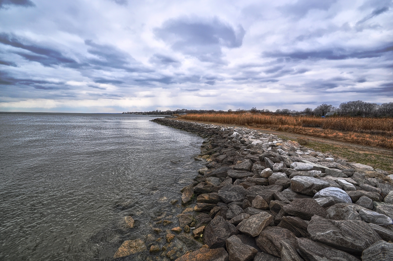
Pennsylvania’s Susquehanna River—and the smaller rivers and streams that feed it—are critical to the health of the Chesapeake Bay. The Susquehanna watershed drains about 27,000 square miles—predominantly in Pennsylvania, representing a little under half of the Chesapeake Bay’s total watershed. Photo: Sandy Poore via Flickr
AF: And when you say sediment and nutrients, are we talking about agricultural runoff?
JA: Agricultural runoff is definitely a big source of nitrogen and phosphorus pollution, as well as sediment or dirt. But that also comes from suburban and urban stormwater—from wastewater treatment plants. So it’s not any one source.
AF: So is this kind of technology the future of conservation?
JA: It definitely is the future. It’s not widely used yet. More than anything, it improves the efficiency of projects, so staff are spending less time on the computer making maps or doing analysis and more time in the field. We’re starting to see a lot of interest from partners across the country and around the world. They’re looking at the models that we’ve been able to develop here, and they’re facing the same challenges in terms of water quality and restoration and conservation work. My daily job is to figure out new ways to do things that have been done a certain way for the last 30 or 40 years; and to do more with what we have and help the Chesapeake Bay restoration movement make measurable strides forward—especially in some areas where goals haven’t been met yet. Pennsylvania has been doing a lot of great work. But right now, they’re on track to be behind for the 2017 midpoint assessment and the 2025 goal of having swimmable, fishable rivers. We feel like we can play a role in advancing everyone’s work and make a big difference in what’s going on on the ground.
###
Jeffrey Allenby is the Director of Conservation Technology with the Chesapeake Conservancy.


