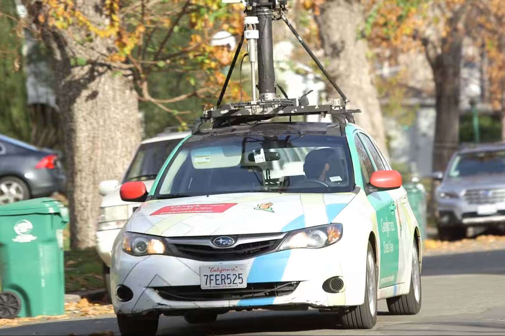
Google is Helping Map Methane Leaks in Pittsburgh
You’ve probably seen the fleet of Google Street View cars driving up and down Pittsburgh’s streets—cameras mounted on top, compiling images so Google Maps users can get a 360-degree view of roads and neighborhoods. But a few of those Street View cars are pulling double duty by helping to map methane leaks from gas pipelines underneath Pittsburgh’s streets.
“As we’re driving along, we will be picking up methane concentrations from different sources,” says Google Earth’s Karin Tuxen-Bettman, who let us ride along this week in one of the cars.
LISTEN: Your Environment Update for November 16, 2016
Here’s how it works: A clear tube under the front bumper of the car takes in air, which runs through the car and into the trunk, where the methane sensor is. Methane is the main ingredient in natural gas and a major contributor to global warming. But the sensor can also detect ethane in the gas. That’s how the scientists interpreting the data know the methane is coming from the city’s old natural gas infrastructure and not some other source.
“In that last couple minutes, it looks like we did pass some emissions of methane,” Tuxen-Bettman says, reading a monitor mounted in the front seat. “But I don’t see a corresponding ethane leak. So it’s possible that that could have been emissions from a sewer manhole.”
It turns out Pennsylvania has the most aging, leak-prone pipes of any place in the country. Google is partnering with the Environmental Defense Fund and Peoples Gas on this project to see where and how much methane is escaping in Pittsburgh. So far, they’ve found 200 leaks—most small, a few big—in a little over 300 miles of pipes. The idea is to give gas utilities the quickest and most accurate information so they can prioritize the pipes they’re already working on replacing.
And what’s in it for Google?
“This is something that I think everybody cares about—environmental air quality and climate change,” Tuxen-Bettman says. “And if we can help with the technology piece and partner with organizations that can make an impact on the ground, then it’s a win-win for everybody.
Reporting by Kara Holsopple
Tracking Diesel Pollution in Downtown Pittsburgh
Trucks, buses and even river barges can create lots of diesel pollution. But a new study finds that just how much of that pollution you might be exposed to depends a lot on where you are and the time of day.
The Allegheny County Health Department enlisted Jane Clougherty, an associate professor at the University of Pittsburgh’s School of Public Health, to study concentrations of these pollutants in downtown Pittsburgh. For two years, Clougherty and her team monitored a variety of diesel pollutants in numerous locations, and they found some big differences from place to place.
“That really was a surprise, that there was such a substantial difference from block to block to block within the downtown area in Pittsburgh—and certainly a big difference from the middle of the downtown core, toward the outside along the rivers,” Clougherty says.
As one might expect, pollution levels were highest during rush hour—though season didn’t seem to make much of a difference. Clougherty would expect similar results in other urban areas.
She says the Port Authority in Pittsburgh is replacing all the older diesel buses with cleaner burning ones by 2019, which should reduce pollution downtown. Her results can also be used to plan better traffic patterns, which could keep buses from idling and creating hot spots for diesel pollution.
Diesel pollution is linked to respiratory and cardiovascular illness, as well as cancer.
Reporting by Julie Grant


